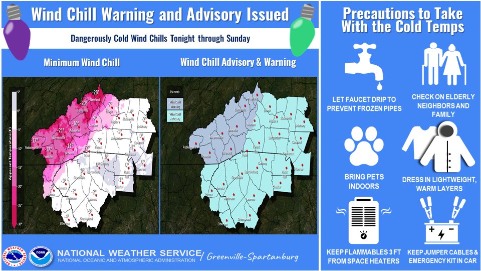
From the National Weather Service at GSP…
- An arctic front will cross the area late tonight through early Friday.
- Temperatures will drop rapidly across the high terrain, changing any lingering rain to snow, and freezing area roadways, resulting in black ice tonight into Friday morning.
- Winds will become gusty out of the west to northwest and may blow down trees and cause power outages.
- Wind chills will become dangerous by mid-afternoon Friday across the mountains, and for the entire forecast area by Friday night, as gusty winds persist and temperatures continue falling into the low teens or single digits.
- Unseasonably cold temperatures will continue through the weekend under the influence of a very cold air mass.
————————–
We hope you’ll keep these safety tips in mind over the next few days.
- Some power outages may result from high electricity demand and/or gusty winds causing tree limbs to fall on power lines.
- Remember the 3 P’s: People, Pets, Pipes. Check on your neighbors, family, and those who are most vulnerable. Dress in layers if you go outside. Bring pets inside. Let faucets drip to prevent frozen pipes.
- Space heaters and other heating sources: Keep objects at least 3 feet away to help prevent fires. DO NOT leave heating sources unattended.
- Only use generators outdoors and at least 20 feet from windows and doors.
- Never use an oven to heat your home.
- Keep jumper cables and an emergency kit in your car.